Monster Storm to Bring Heavy Snow, High Winds, Coastal Flooding by Monday Evening
Here is an update on the latest weather and storm-related information for South Jersey about Monday's potential monster nor'easter snowstorm.
After reviewing the latest computer weather models, Lite Rock Meteorologist Dan Zarrow is now forecasting at least 8 to 12" of snow for Atlantic, Cape May and Cumberland counties, with the potential for 30'' of snow in other parts of the state.
Here is Dan's forecast as of 5PM Sunday.....
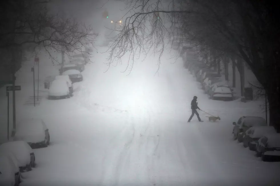
A potentially historic winter storm is shaping up for New Jersey, with upwards of 2 to 3 feet of snow, whiteout conditions, and coastal flooding expected.
Hopefully by now, you’ve heard of the impending blast of winter that Mother Nature is about to deliver to New Jersey and the rest of the Northeast. By far, this will be the biggest storm of the winter season… and potentially one for the record books, as snow will be measured in feet instead of inches. Even the National Weather Service has called it a “crippling and potentially historic blizzard”.
Here’s our latest forecast for this winter storm:
 Latest forecast on the blizzard conditions expected for New Jersey on January 26-27, 2015 (Dan Zarrow, Townsquare Media)Breaking down this forecast in a bit more detail, here is everything you need to know about the forecast for tomorrow’s blizzard…
Timing
Sunday was a beautiful day with sunny skies, mild temperatures, and widespread snow melt. Those weather conditions will go downhill quickly overnight, as the first wave of snow moves in. Those first snowflakes look to occur in the after-midnight hours. The initial snow, which will last through the daytime hours on Monday, won’t be too bad. Bands of light to moderate snow could make for a tricky but manageable morning commute, and we could have accumulations of up to 3 inches by the evening commute. If you can leave work or school early on Monday, just in case, that would be a wise decision.
The problems will come after sunset Monday evening and through the overnight hours into Tuesday morning. Bands of very heavy snow – over an inch an hour – are expected, along with winds gusts up to about 50 MPH.
Blizzard Warning
The technical definition of a “blizzard” according to the National Weather Service says a storm must have:
- sustained wind or frequent gusts of 35 mph or greater
- falling and/or blowing snow
- frequently reduced visibility to less than 1/4
- a duration of 3 hours or longer
That’s right – a textbook blizzard technically has more to do with visibility than with snow totals or temperatures.
Blizzard conditions are expected through the worst part of the storm, and so the NWS has issued a Blizzard Warning for Bergen, Passaic, Hudson, Essex, Union, Middlesex, Monmouth, and Ocean counties from Monday afternoon until Tuesday night. (I would expect the warning to be cancelled early if blizzard conditions subside.) This area of the state will be part of the bullseye for this storm, and will likely net over 2 feet of new snow, in addition to those near-zero visibilities. Travel will be near-impossible during and after the height of the storm
The rest of the state is under a less-intense-but-still-hazardous Winter Storm Warning. With much of that area prone to receive 1 to 2 feet of snow, and similar wind gusts to the blizzard area, it’s still going to be a very significant winter event.


Snow Accumulation
The map above illustrates the current forecast best… 20 to 30 inches of snow is possible for Northeast New Jersey through Middlesex, Monmouth, and Ocean. 12 to 20 inches of snow is expected a bit further west. And the forecast is for 8 to 12 inches of snow in South Jersey.
You read that right – everywhere and everyone in the state should expect to see more than 8 inches of snow from this storm. Beyond that point, semantics and details don’t matter… the state is going to get buried by Tuesday morning.
Wind
One of the challenges of this storm will be the wind which, as I previously mentioned, will be gusting to about 50 MPH. That will keep the snow constantly blowing around, therefore keeping visibility very low through the entire storm. In addition, the strong winds and heavy snow increase the risk for power outages, which would make a bad situation even worse without power, light, and heat.
Coastal Flooding
A Coastal Flood Watch is in effect from Monday evening through late Monday night, calling for “moderate” flooding along all coastal areas of New Jersey. Of particular concern is the high tide that will occur just after midnight early Tuesday morning. According to the National Weather Service, the following peak tides are predicted:
- Sandy Hook: High tide occurs at 1:07 AM Tuesday, with a forecast tide level of 7.5 to 8.0 feet above mean lower low water.
- Seaside Heights: High tide occurs at 12:37 AM Tuesday, with a forecast tide level near 7.0 feet above mean lower low water.
- Atlantic City: High tide occurs at 12:50 AM Tuesday, with a forecast tide level near 7.0 feet above mean lower low water.
- Cape May: High tide occurs at 1:24 AM Tuesday, with a forecast tide level 7.5 to 8.0 feet above mean lower low water.
This level of flooding will flood numerous roadways that are especially prone to coastal floods. Some property damage and moderate beach erosion are also possible, according to the NWS.
Preparations
If you haven’t stocked up on supplies yet, it may be too late as grocery stores across New Jersey are likely running very low on their inventory of “bread and milk”. French toast supplies aside, it’s important to realize this is a significant weather event, and no one should be caught unaware or surprised. Take precautions now, such as purchasing food, getting gas for snowblowers and vehicles, and canceling or postponing travel plans for Monday night and possibly Tuesday.
Here is storm preparedness information from the Atlantic County Emergency Management office....
With a winter storm warning in effect for our area from noon on Monday through 6 PM on Tuesday as Winter Storm Juno barrels across the Northeast, Atlantic County emergency management and public works officials are closely monitoring weather forecasts and making preparations for the potential of significant accumulations of snow, sleet and ice with 30-40 mph wind gusts, and minor to moderate coastal flooding.
The storm is expected to start with a mix of rain and snow on Monday morning before becoming all snow Monday evening and continuing, heavy at times, through Tuesday. The National Weather Service is forecasting the possibility of 10-18 inches of snow for Atlantic County (as of 4 PM Sunday) with blowing and drifting that may make travel especially hazardous during Monday evening and Tuesday morning.
In anticipation of the snow, Atlantic County public work crews began salting county roadways on Sunday to help delay snow from accumulating on road surfaces and will do so again on Monday as rain transitions to snow. Snow plows will also be deployed as snow begins to accumulate.
Motorists are reminded to stay well behind salt trucks and snow plows. And when shoveling your driveways, place snow on the “down” street side, to the left of the driveway when facing it from the street.
Residents are encouraged to make preparations NOW by reviewing their family emergency plans; restocking emergency supplies such as flashlights, batteries, battery-operated radios, non-perishable food and water; charging electronic devices; checking on elderly and infirm relatives and neighbors; fueling vehicles; having cash and prescription medicines on hand; and closely monitoring weather forecasts.
Anyone who experiences a life-threatening emergency should call 9-1-1. For non-life threatening emergencies, contact your local office of emergency preparedness. Contact numbers are available online at ReadyAtlantic.org, the county’s emergency website as well as in the blue pages of your phone book.
Citizens may also access the Ready Atlantic web site to register for CODE RED to receive county emergency notifications via phone or text.
More From Lite 96.9 WFPG


