
Wednesday NJ weather: Stormy start, warm finish
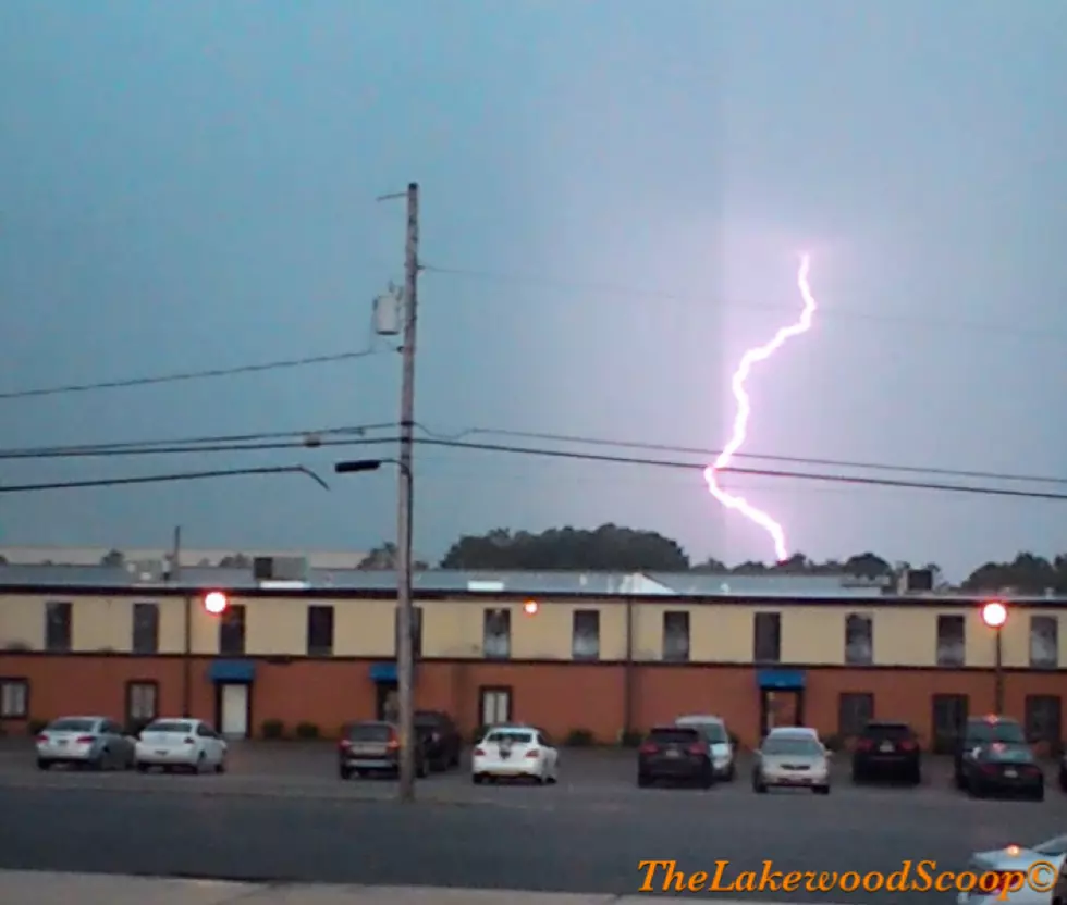
Wow, I got quite the lightning show on my ride to work this morning! Strong thunderstorms and heavy rain drenched most of New Jersey so far. But it's not going to rain all day. In fact, I have a decent forecast for you with only two minor concerns developing later on.
As of this writing (6 a.m.) Wednesday morning the soggy, stormy weather is almost done. As showers and thunderstorms clear the cost, we'll enjoy a mix of sun and clouds for the rest of your Wednesday. So will you be able to go outside for a walk? Yes!
It's also going to be a warm day — quite possibly our warmest of the week, on the whole. High temperatures Wednesday afternoon will range from about 60 degrees to the north and east, to the lower 70s to the south and west. This will be our fifth 60+ degree day in a row.
However, we will have to keep an eye on the sky from Wednesday late afternoon through Wednesday evening — from about 4 p.m. to 9 p.m. A few popup showers and thunderstorms are possible, which may include isolated pockets of heavy rain. Additionally, remember that lightning always poses a danger.
We also have a Coastal Flood Advisory posted for the Jersey Shore from 7 p.m. Wednesday through 1 a.m. Thursday. Wednesday evening's high tide cycle will be about a foot higher than usual. Minor flooding of tidal waterways will be possible.
The rest of Wednesday night will be partly cloudy with highs around 50.
Thursday will be our (inevitable) cold front day. We'll still see mild temperatures around the lower 60s. But thicker clouds and showers return Thursday morning, followed by a big push of rain and thunderstorms throughout the state around midday Thursday. Following that front, a gusty wind will kick up, potentially as strong as 40 mph.
That will result in much cooler weather for Friday, with highs limited to the lower 50s. It will be a windy and blustery day. We'll see partly to mostly sunny skies, at least.
The rest of the holiday weekend is looking good, although temperatures will be stuck at or just below seasonal normals. Saturday looks sunny and dry, with highs in the mid 50s. Sunday will start sunny, with high temps pushing to a seasonable 60 degrees.
Our next storm system and next chance of rain should hold off until Sunday evening. That will lead into a pretty wet day Monday.
More From Lite 96.9 WFPG


