
Tuesday NJ Weather: Drying Out, Increasing Sunshine, Gusty Wind
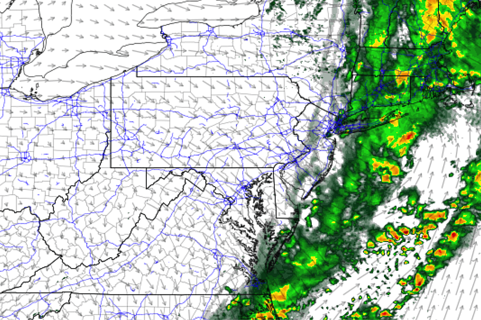
With rainfall totals ranging from a few tenths of an inch to over an inch, Monday was extra-depressing given the grey skies and the damp weather. We're in the middle of our last push of rain on this Tuesday morning, with big weather improvements coming for the rest of the day.
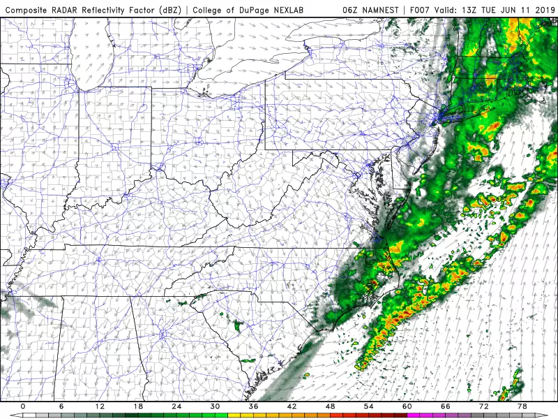
Models suggest final raindrops will clear the NJ coast by around 9 a.m. Tuesday morning. There is a sharp edge to the back side of the rain and the cloud bank (thanks to a frontal boundary), so we'll clear out and dry out very quickly.
Sunshine will take over by midday, with pleasantly mild high temperatures between about 75 and 80 degrees. However, you will have to battle against a brisk northwesterly wind, gusting as high as 30 mph through Tuesday afternoon.
Humidity levels will be uncomfortably high to start, but things will become much more bearable as the day presses on.
Tuesday night will be partly cloudy, calmer, and much more comfortable. Low temps should dip into the mid to upper 50s — a full 10 to 15 degrees cooler than the previous night.
Wednesday's forecast has shifted a bit cloudier and cooler, thanks in large part to a light on-shore breeze. I'm putting high temperatures in the lower to mid 70s — slightly below-normal for mid-June. Still pretty pleasant. And with high pressure overhead, I'm keeping the forecast dry for now, despite the NAM model's insistence on a late-day shower.
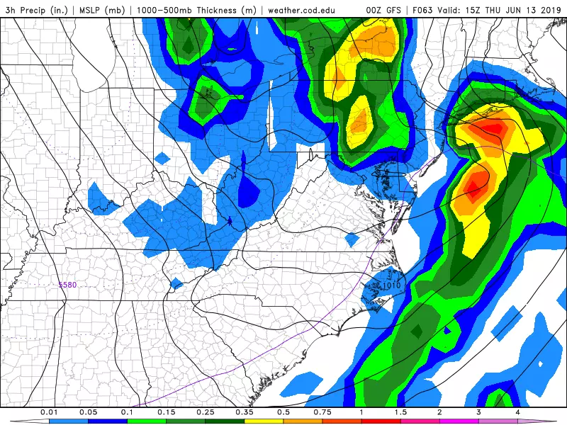
We get wet again on Thursday. A pair of storm systems — one sliding up the Atlantic seaboard, and one passing over the Great Lakes — will combine to bring New Jersey periods of rain for much of the day. This setup still gives me nightmares, as it would be a potential snow bomb during the winter season. (But don't worry - no snow to worry about this time around!)
Just how much rain will we see? Will the day become a total washout, or will rainfall be more scattered? Can we salvage any part of the day as dry? Good questions. It all depends on how well the two pieces of this puzzle phase (interact) with each other. The GFS is an interesting solution that puts New Jersey squarely in the middle of the two blocks of heavy rain. Still a wet day, but we'd avoid real deluges.
In any case, we'll dry out nicely to close out the workweek on Friday. Your Flag Day looks mostly sunny, with a stiff breeze out of the west. That will push high temperatures into the upper 70s to around 80 degrees, even along the Jersey Shore.
The Father's Day Weekend still looks pretty good, as west-southwest winds fuel a big warming trend. Partly sunny and 80s on Saturday. A summery 90 degrees will be a possibility for Sunday.
Models are also showing a chance for rain late Sunday. Hopefully raindrops will hold off until the evening hours at the earliest.
More From Lite 96.9 WFPG


